
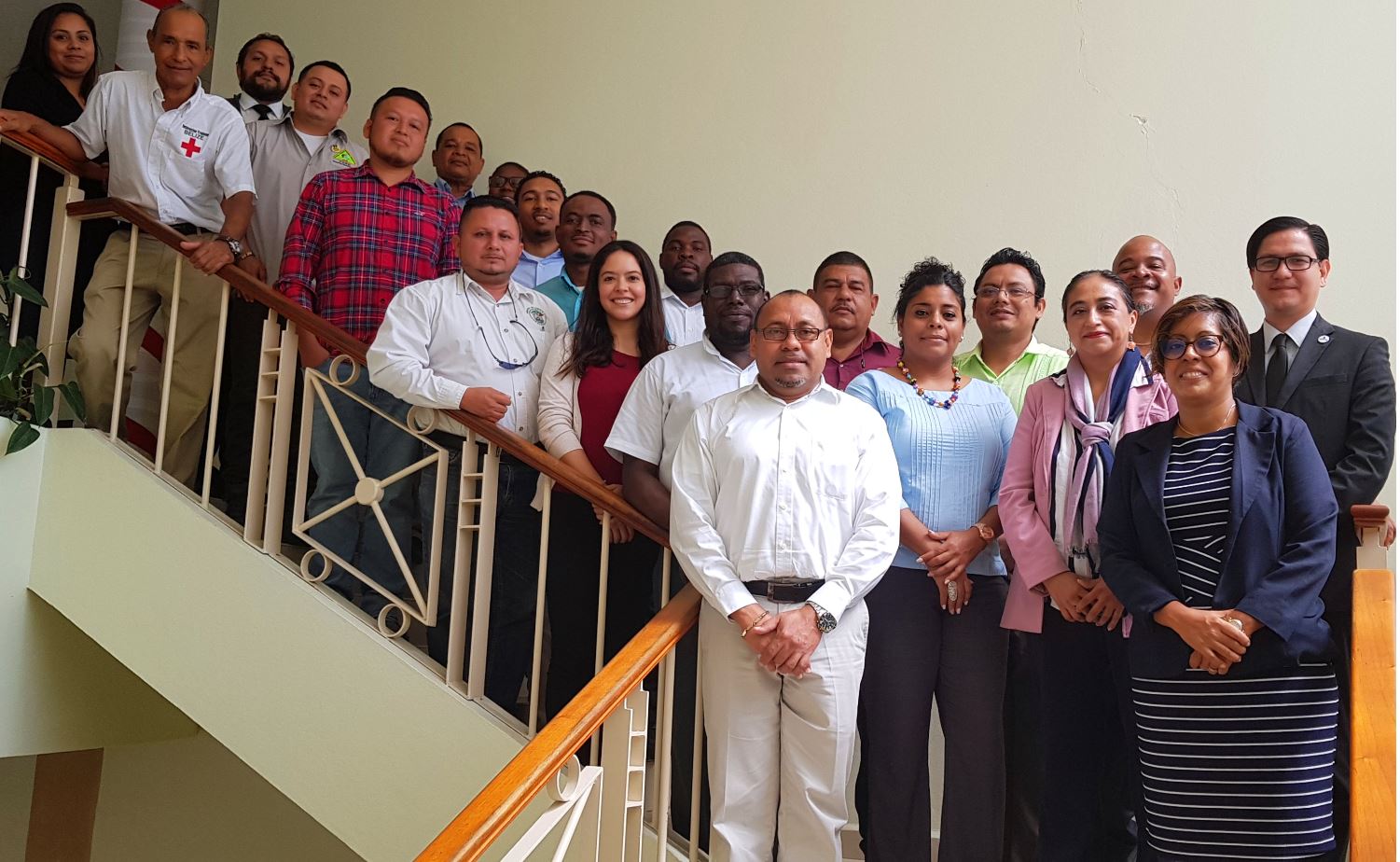
Meetings are being held this week in Belmopan to assess the progress made in fully incorporating Belize into the Mesoamerica Network for Integral Risk Management (RMGIR).
The platform of the RMGIR is a virtual tool which makes available to governments, institutions and related actors the information products generated for the identification of threats and vulnerabilities, as well as geospatial information in terms of cartography, agrology, cadastre and geography. The map layers are guaranteed by the governments that upload them both nationally and regionally. The platform used for these maps has the ability to run scenarios on the possible effects that various natural events may cause, enabling NEMO to focus its planning on targeted areas of highest vulnerability.
One purpose of the meetings this week is to determine what extra layers could be added to provide other vital information for thorough analysis and assessment with respect to disaster risk management.
The meetings are facilitated by Salvador Bautista, Regional Coordinator for the Mesoamerica Integration and Development Project; and Marcos Sandoval Salazar, Technical Expert from Mexico’s National Center for Disaster Prevention (CENAPRED).
The meetings are attended by personnel who serve on the relevant NEMO committees drawn from various ministries, departments and agencies including, the Belize Red Cross; Ministries of Health, Housing, Agriculture and Education; Belize Water Services (BWS); Belize Port Authority; University of Belize; and Statistical Institute of Belize. Also present are representatives from the Ministry of Foreign Affairs and the Mexican Embassy.
